Назад
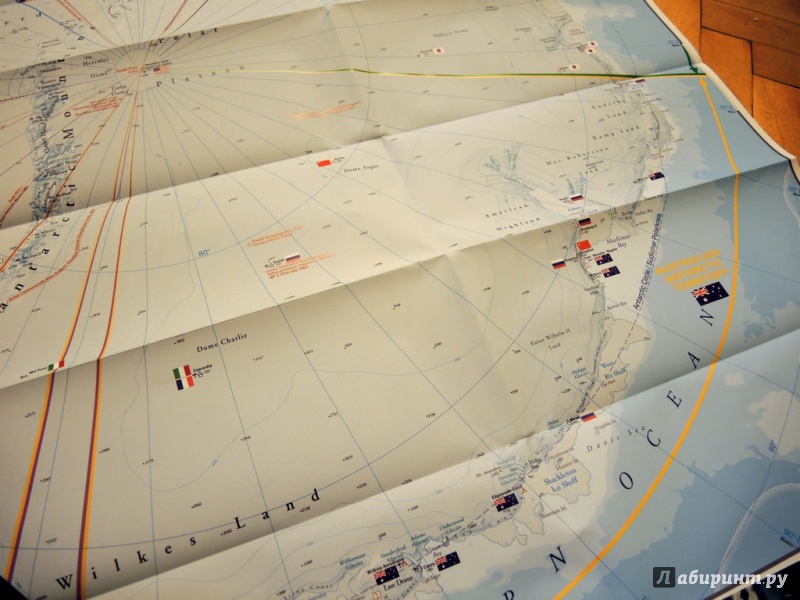
Третья иллюстрация к книге Антарктика. Карта. Antarktis 1:8.000.000
предыдущая
1
2
3
4
5
6
7
8
следующая
Иллюстрация
3
из 8 для
книги Антарктика. Карта. Antarktis 1:8.000.000
Источник:
Луканина Мария
Антарктика. Карта. Antarktis 1:8.000.000
1
рец.
8
фото
Reise Know-How
Нет в продаже
УЖЕ ПОКУПАЛИ
This map appears in the map series world mapping project in travel expertise. Characteristic is the high-quality, clear and modern cartographic representation.
Contour lines with elevation
Coloured elevation levels
Classified road network with distances
Places of interest
Detailed local index
GPS capability by longitude and latitude
UTM mark on the edge of the map
Бестселлеры жанра
Атласы и карты мира
"Атлас мира. В новых границах",
"Настенная карта "Политическая карта мира" (в тубусе)",
"Планисфера (подвижная карта звездного неба)",
"Планшетная карта Солнечной системы. Двусторонняя",
"Гигантский атлас мира",
"Карта мира политическая с флагами. В тубусе",
Назад